Wombeyan Caves

Posted

Wombeyan Caves

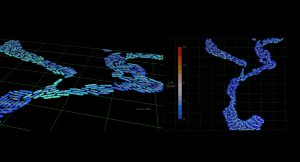
The Wombeyan project was developed using our point cloud pipeline. This data set was captured using the handheld Zebedee LIDAR device, a self-contained laser scanner.

Background

The Research Project


The data used in this project was captured by LIDAR, which allowed us to represent the scanned environment visually within the Data Arena.

A LIDAR is a laser radar scanning system that is frequently used in the motion picture industry as a means of scanning a large film set for import into 3D animation software. These devices normally cost up to $10,000.

The CSIRO in Brisbane invented a light-weight, low-cost handheld LIDAR device which they called the Zebedee. The Zebedee fires a laser which scans back and forward 40,000 times a second – when the laser beam hits a surface, the distance to the object is recorded as a three dimensional point in the XYZ coordinate space.

In this project, the Zebedee device has been used to scan portions of the Wombeyan Caves. The data set contains 22 million points and recorded the XYZ coordinates of each location as well as its colour in RGB.

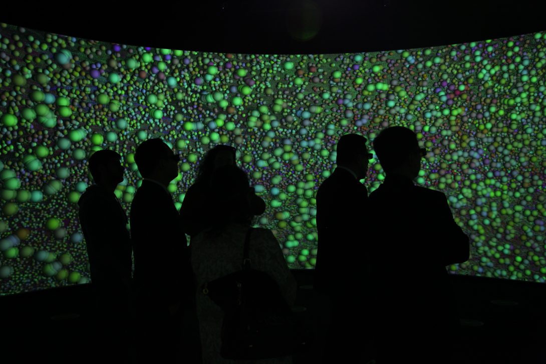
In the resulting visualisation, a sphere is displayed for each position where a sample was collected by the scanner. If the light bounced back towards the scanner the sphere is coloured green, if the light was bounced away, the sphere is coloured red. On the floor of the cave for example, the spheres are red, whereas when the laser hit one of the metal safety hand rails a specular reflection was created resulting in a blue sphere instead.

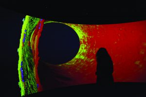
The goal of the project was to map in very high detail an abandoned marble quarry located within the Wombeyan Caves for the National Parks and Wildlife Service. The structure and formation (i.e., the geomorphology) of caves is an area of active research – the hope is that by studying the shape of a cave it may be possible to decipher how it came to be formed.

A number of discoveries have been made while examining this visualisation of the scan within the Data Arena. Looking at the roof and the sides of the cave, it is possible to see stream channels in the roof, suggesting that it was formed by water moving through the cave system.

Examining the cave in 3D and considering its geology allows researchers to investigate such questions as ‘Where are there likely to be undiscovered passages?’ or ‘Where would this cave continue on?’

Explore More Examples